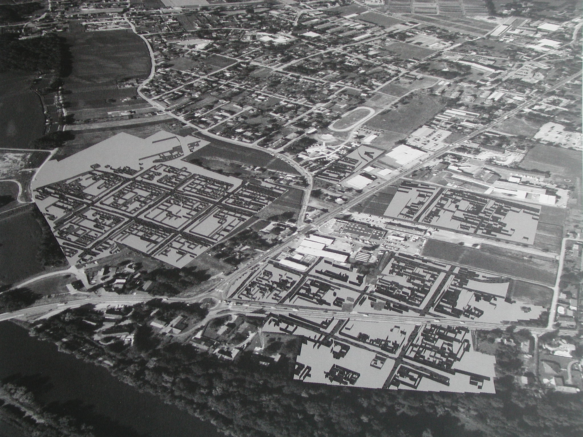
The expansion of the town as it is known today is around 650 metres in a north-southern direction and around 450 metres in an east-western direction. In the east the city was bordered by the River Mur, in the west by the burial grounds, while the expansion in the north and the south is defined by geophysical investigations and excavations. As the basis of the orthogonal street grid, the street width of 68 Roman feet was proposed; the Insulae corresponded in their width and length to twice and three times the width of the street, from which resulted four different sizes of housing blocks.
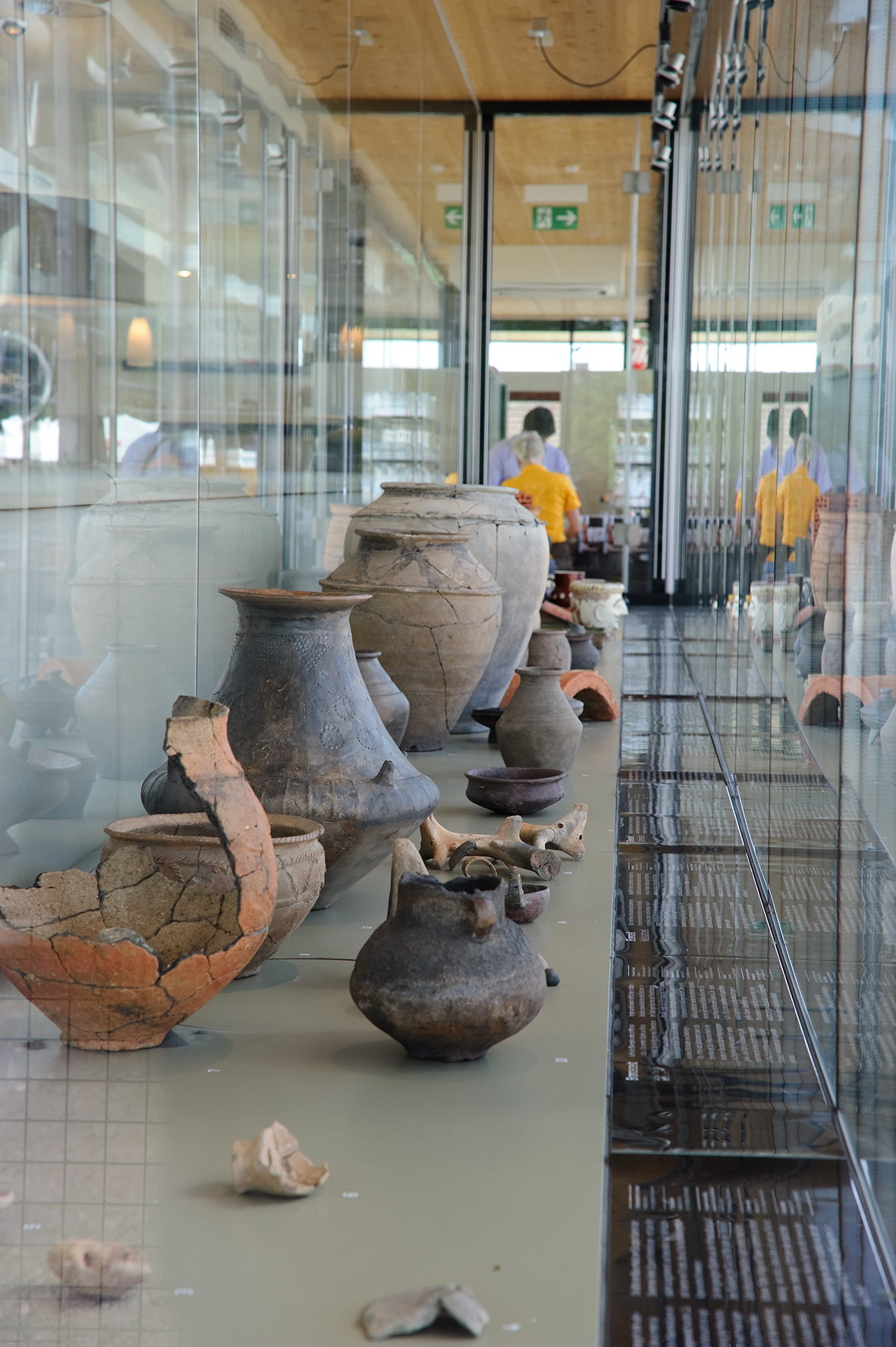
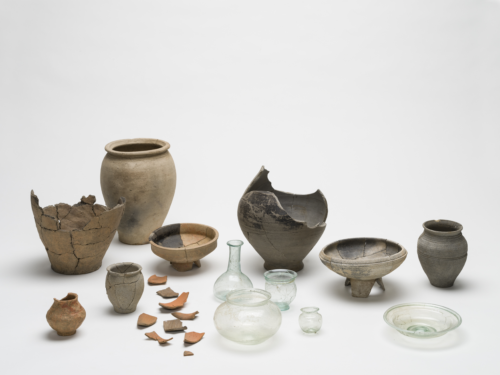
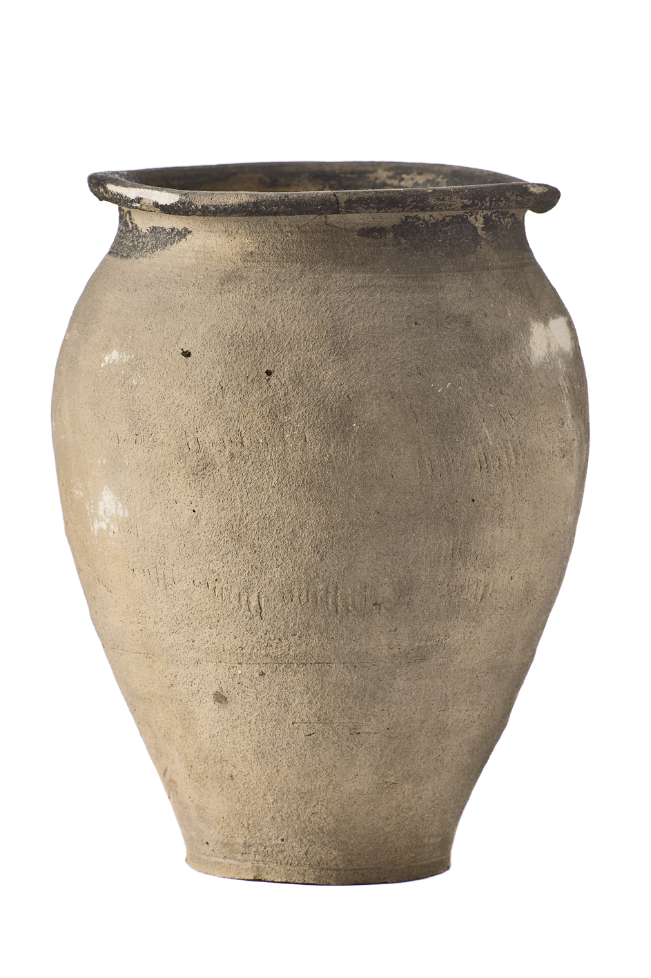
The housing blocks, named Insulae by the excavator W. Schmid (Regional Archaeologist from 1911-1950), correspond in their interior decoration not to the block of flats found in the cities of the empire, described with the same term; rather they are standardised plots of land with varying degrees of building on them. These so-called Insulae could equally have town villas built on them or workshops, businesses, or several houses with a dozen households, too. The houses within the Insulae most likely consisted of half-timbered buildings for the most part, though stone-wood dwellings in various styles were also found, as were purely stone buildings.
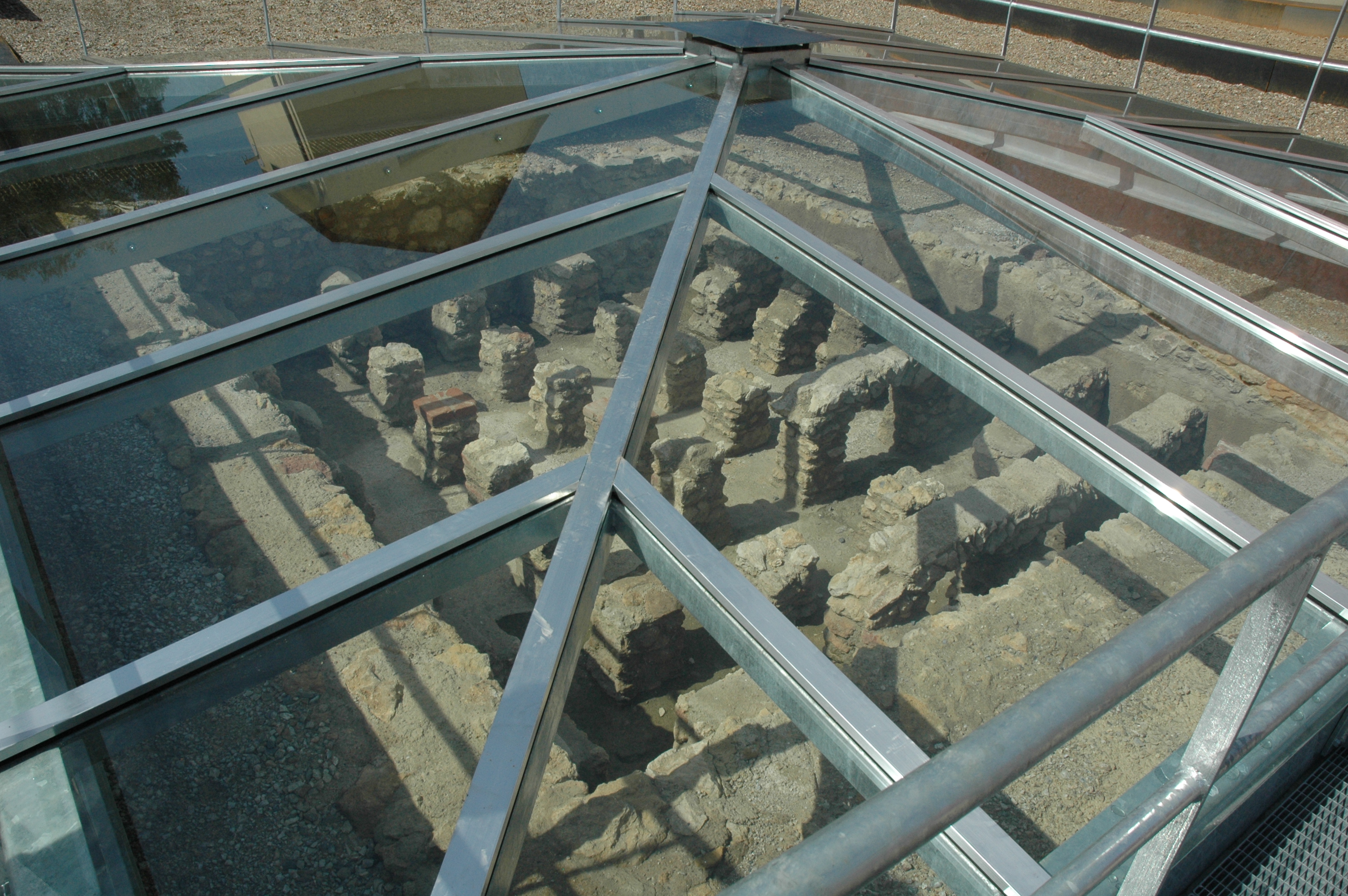
Flavia Solva has no city walls and no sewer system. The water supply came from wells and cisterns; the disposal of waste water was managed via seeping pits. As for the public buildings, a spa complex could be located with some probability in Insula XXII-West, while the amphitheatre has been ascertained in terms of location and size. The origins of the amphitheatre have been placed in the first half of the 2nd century A.D. The construction was made of stone and wood, with the spectator rows made of wood. The amphitheatre in Flavia Solva can still be clearly seen today on the terrain. The city’s sanctuaries could also be localised. The public buildings appear to have been located in the two more narrow rows of Insulae to the north and south of Street K.
Flavia Solva was laid out like an Italian colony with a regular orthogonal street grid. At the intersection of the two main streets called Cardo and Decumanus the town’s public buildings were often to be found. Street K, which runs between the two narrow blocks, may be one of the two main streets, namely the Decumanus, while the main street running north-south, the Cardo, may be Street E. With this in mind, the Forum would be located in the area of the Insulae XIII and XXIV, even though the results of the geophysical measurements suggest a large, plastered surface surrounded by columned halls and found in Insula XXVI as the forum’s location. The streets, up to 20 metres in width, were gravelled, and occasionally there was a covering of quarry stone; however, we cannot speak here of paving.


