


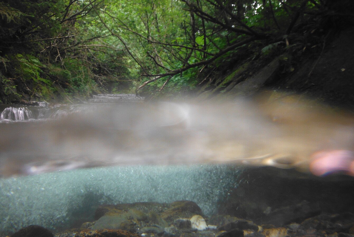

RIVER PROJECT refers to the plan to follow the Feistritz River to its confluence with the Lafnitz River. The entire route, approximately 114 km, is divided into the area above and in the gorges, where it flows as a mountain stream with little water, and the middle and lower parts, where it is repeatedly dammed and interrupted by numerous weirs and hydroelectric power stations; here there are also backwaters with deeper water.
The plan is to stay within the riverbed and the immediate banks along the entire route, walking in the river but also on gravel banks and rocks on the inner edges of the river to avoid difficult passages, to navigate sections with an inflatable kayak that can be lifted out of the water before weirs and power stations in order to bypass them, and to swim short distances in the lower section. Fourteen days are planned for this river hike, which is to be carried out from mid-July without any interruptions, weather permitting. The changes to the river will be documented photographically and a description of the natural environment will subsequently be produced. For the project, information is being exchanged with Department 14 – Water Management, Resources and Sustainability of the Province of Styria, the Water Engineering Department of the Hartberg District Administration and Helmut Habersack (UNESCO Chair for Integrated River Research and Management, Christian Doppler Laboratory for Sediment Research).